
How much does it cost to add a GPS & mapping API?
How much does it cost to include a GPS and mapping API in your app?
Depending on what you want your app to achieve, the answer can vary drastically. It also depends on the API you want to use, the type of app you’re making, and the functionality you want your map to provide.
Let’s go over the cost of some of the more popular GPS and mapping APIs, starting with the most well-known of all:
Google Maps
First of all, if your app is free (as in no cost to download, no ad revenue, and no subscription fee) Google Maps is free to use. This includes all of their API’s functionality – directions, routing, street view, and all the other functionalities.
Google Maps also provides app developers with the ability to customize their map – this includes colors, information presented, and much more. The customized map can then be copied as simple Javascript to be implemented into your app – this works with both Android and iOS platforms.
Google Maps’ costs are as follows:
- Embed Advance: $14 per month
- Static Maps: $2.00 per month
- Dynamic Maps: $7.00 per month
- Static Street View: $7.00 per month
- Dynamic Street View: $14.00 per month
For more information, visit Google Map’s pricing page.
Keep in mind that even if you’re on a free plan for Google’s API (or any API for that matter), it still takes time and costs money for developers to implement that API into your app. Most APIs also require a backend through which they access data, which adds to your costs. Backend service pricing varies wildly.
USE OUR APP COST CALCULATOR TO ESTIMATE THE COST TO BUILD YOUR APP
Mapbox
Another GPS and mapping API, Mapbox is free-to-implement as long as you stay below the magic number of 50,000 views/requests/users a month. Mapbox gives developers the ability to provide users with real-time navigation, augmented reality, and data visualization. Their API is customizable, and their tools for visualizing data can be used on the web, mobile, and desktop.
If you go over that magic number of 50,000, the price moves up to fifty cents per 1,000 map views, geocoding requests, directions requests, matrix elements, and Tilequery requests. If you’re building an enterprise app, you can get a volume discount if your numbers are over 5 million for the same categories.
Mapbox can be implemented for both Android and iOS apps.
For more information, visit Mapbox’s pricing page.
SCHEDULE A CONSULTATION WITH AN APP DEVELOPMENT EXPERT TO GET A CUSTOMIZED QUOTE!
Tom Tom
Tom Tom is yet another mapping API – rather than providing a pricing plan based on interactions per month, Tom Tom offers you 2,500 API transactions on a daily basis. This number is reset each day. Keep in mind that a transaction isn’t a user opening your app, using the map functionality, and then closing it. For their maps API and traffic tiles, one transaction is equal to fifteen requests.
If you’re going to go above those 2,500 free transactions per day, you can check out Tom Tom’s pricing page here. For 50,000 transactions, the price is $25.00, and for ten million the price is $4,199.00 – as you can see, depending on how many users you expect, your costs can vary significantly.
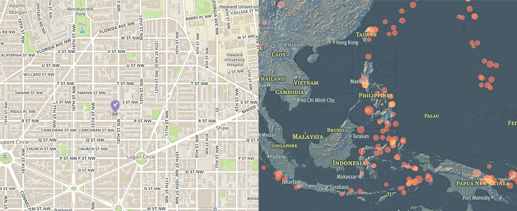
So just what are GPS and mapping APIs?
First, let’s cover the basics – API, just in case you aren’t familiar with the acronym, stands for Application Programming Interface. Basically, an API provides a developer with set of functionalities and protocols that define how pieces of software interact with each other.
In regards to an what an API call (also referred to as an API request) is, it’s essentially a piece of software in an app connecting to a server in order to transmit data between the server and the app. This is all made possible by backend integration.
This is how GPS and mapping APIs are able to update users with directions, or can display (and react to) traffic conditions. Every time your users interact with the mapping API your app uses (for instance, finding the nearest gas station) they are guided by directions that are provided by multiple API calls.
The app communicates to the server where it is, and the server uses that data to correctly display the next step in their route. This process is continued until the user has reached their destination.
This is why most GPS and mapping APIs offer different options from which to mix and match – and why you should choose which features you want to include carefully. While mapping APIs are designed to scale with your usage volume, they do become more expensive as your user base grows.
It’s always easier to add functionalities than it is to take them away – your users will be disappointed and dissatisfied if they notice a feature that was available to them is no longer there.
That’s why we recommend starting out your app as an MVP.


Leave a Reply
Want to join the discussion?Feel free to contribute!